Enhance Your Projects with our Aerial Drone Photography Services
Comprehensive Aerial Views
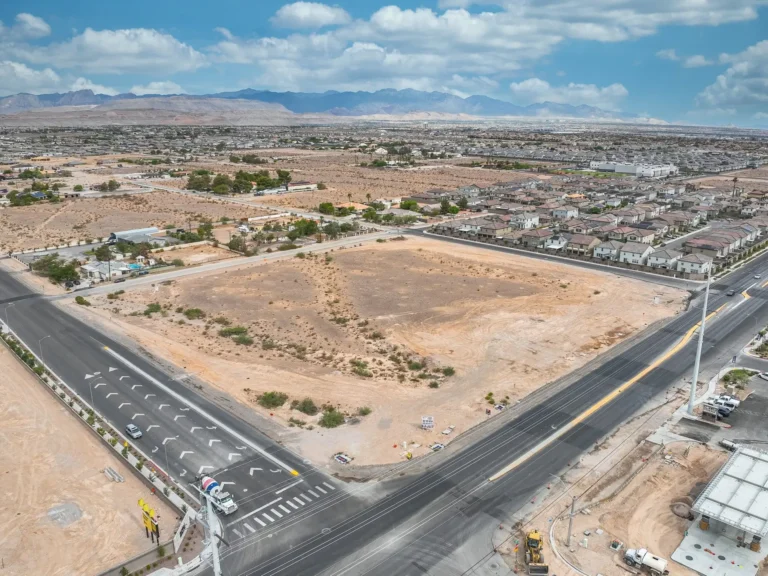
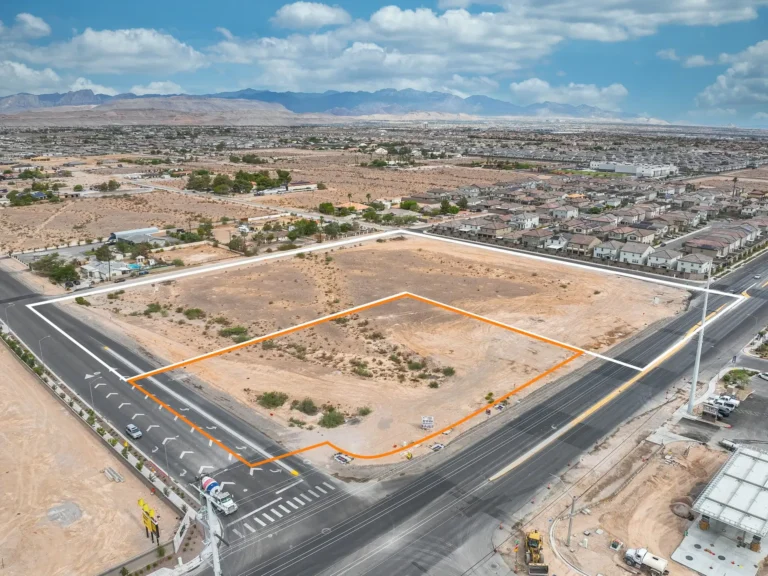
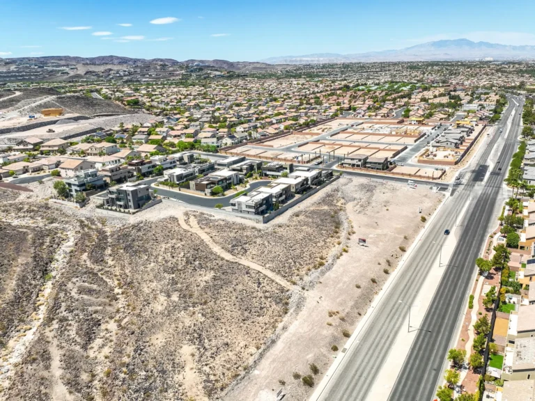
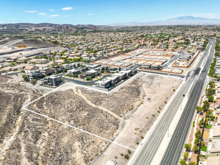
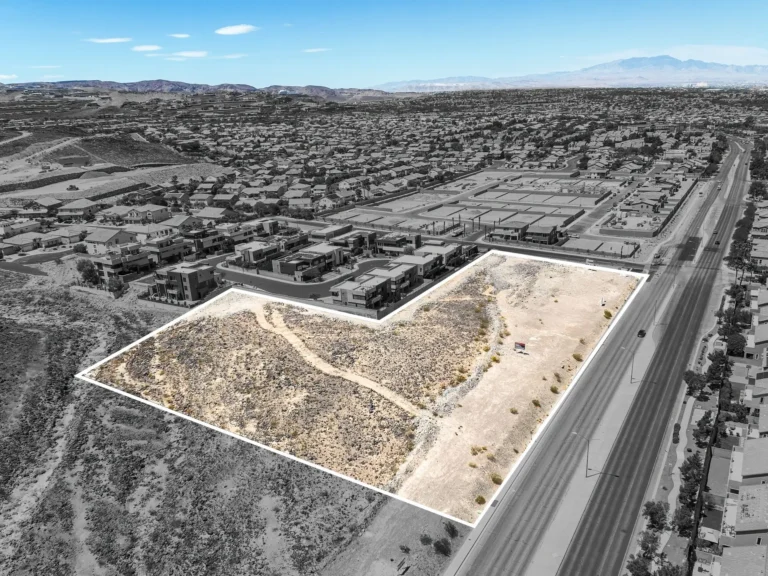
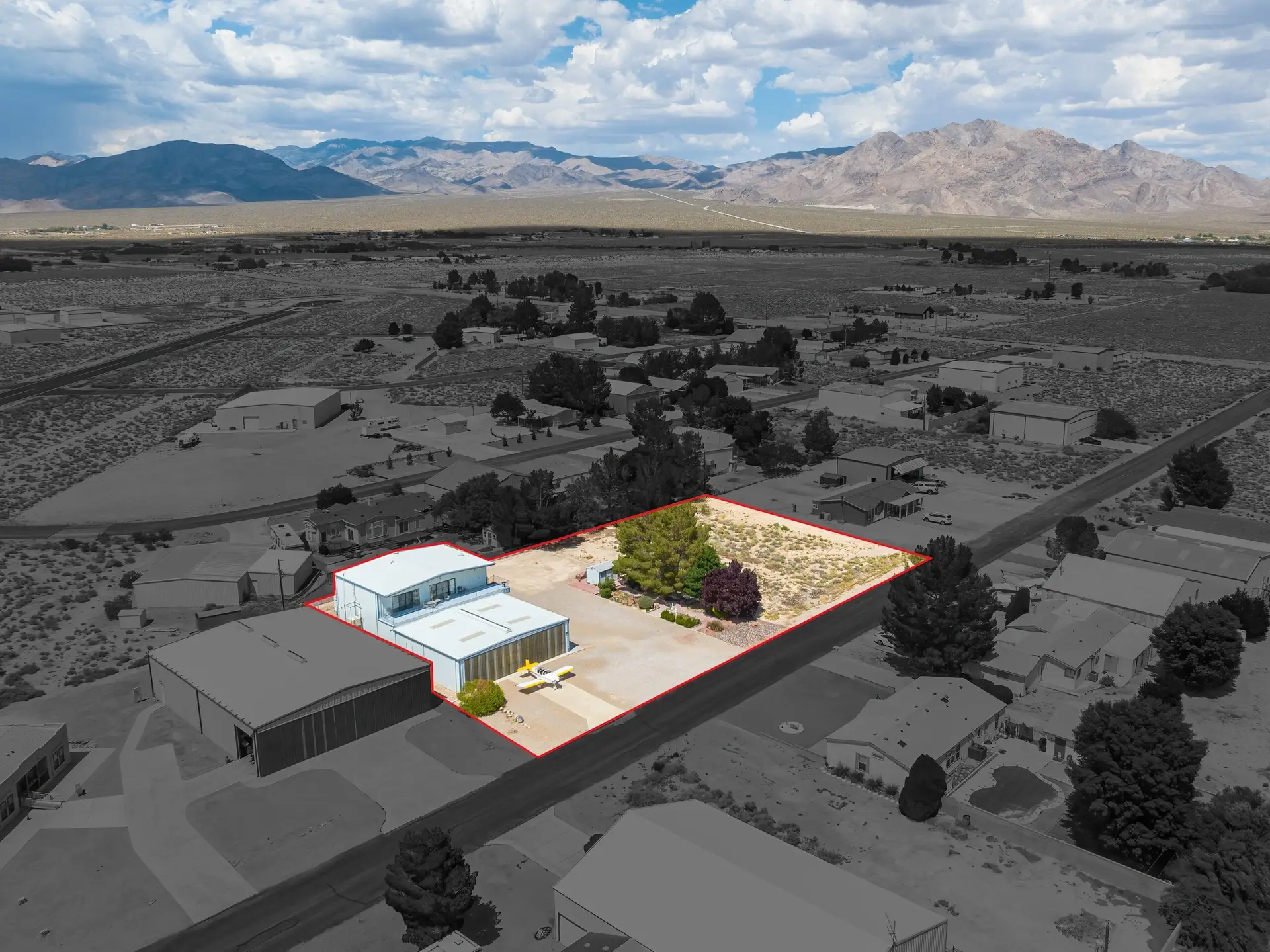
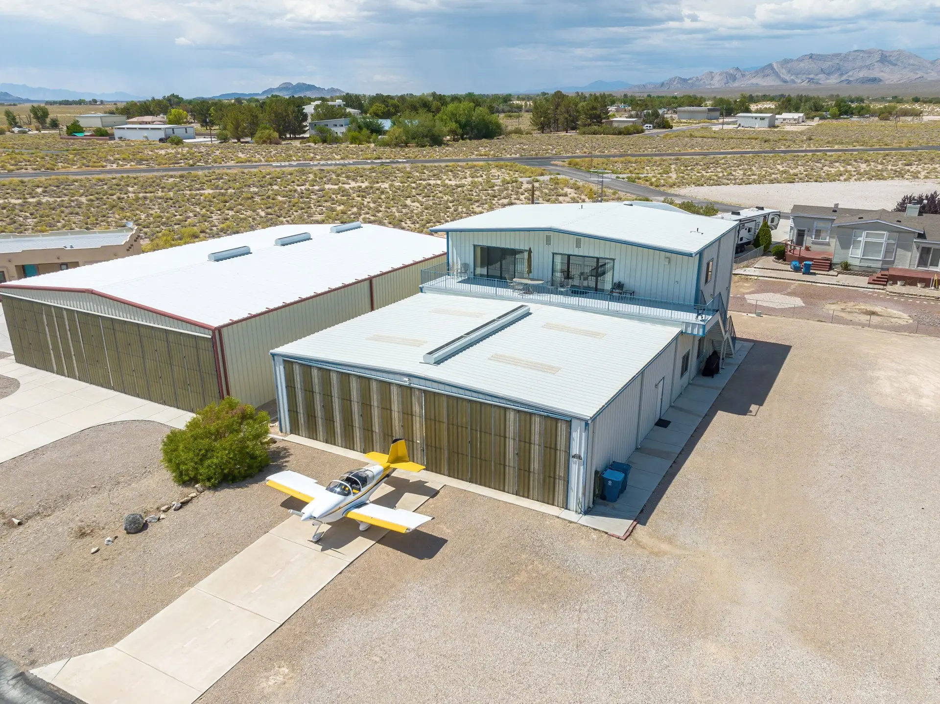
Our drone photography services offer a unique and compelling way to showcase your residential, commercial, land, and business listings. By capturing aerial views, our drones provide a comprehensive perspective that ground-level photography cannot achieve. This bird’s-eye view highlights the property’s layout, surrounding areas, and overall context, giving potential buyers or tenants a full understanding of the space.
Certified and Insured Professionals
Our professional drone operators are FAA 107 certified and insured, meeting the Federal Aviation Administration’s certification requirements and carrying the necessary insurance to ensure a professional and compliant service. We regularly receive FAA approvals for operating in Las Vegas KLAS airspace, Nellis AFB KLSV airspace, and Henderson KHND airspace. This allows us to provide our services safely and legally in restricted zones.
High-Resolution Drone Imagery for Real Estate Listings
Utilizing the latest drones, we capture high-resolution images, ensuring every detail of your property is clear and visually appealing. After capturing the footage, we meticulously edit and enhance the images to represent your property in the best possible light.
Our drone photography services offer a unique and compelling way to showcase your residential real estate listings. By capturing aerial views, our drones provide a comprehensive perspective that ground-level photography struggles to achieve. This bird’s-eye view highlights the property’s layout, surrounding areas, and overall context, giving potential buyers a full understanding of the space.
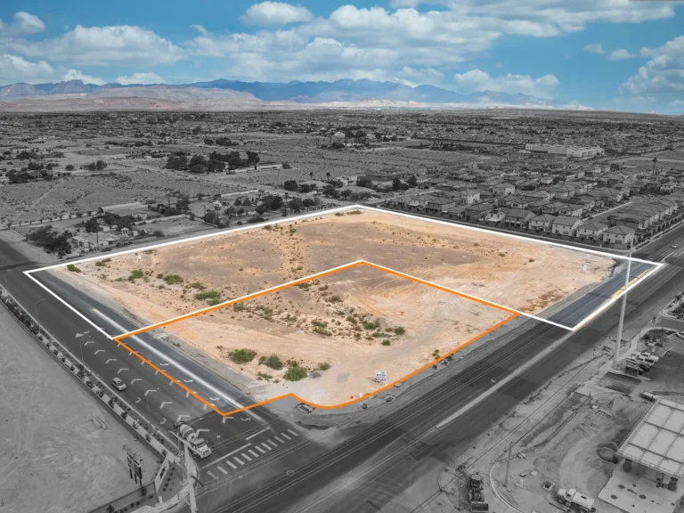
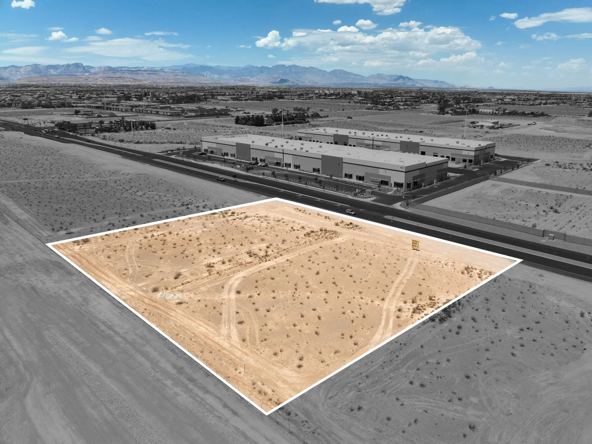
We also include our custom “muted background” effect on specific photos. By greying out surrounding homes, and bringing in the mountains and sky in the background, this specialized technique highlights your listing, enabling viewers to accurately identify it among its neighbors.
Site Survey and Photographic Documentation
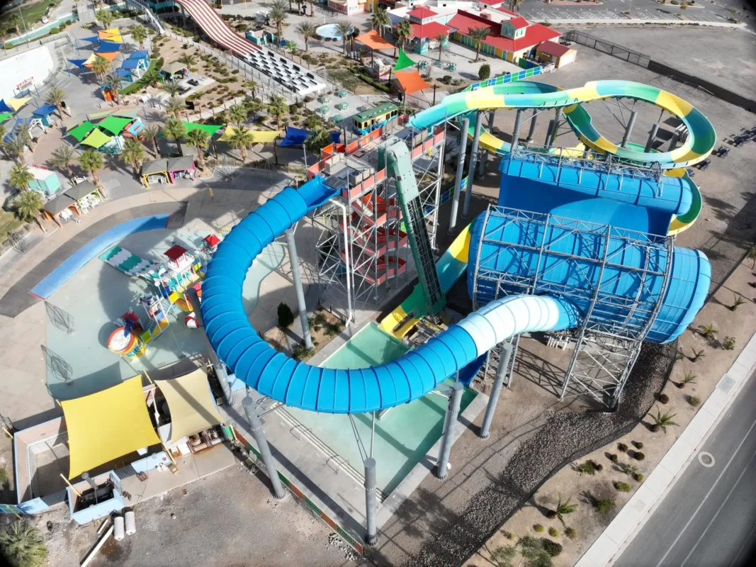
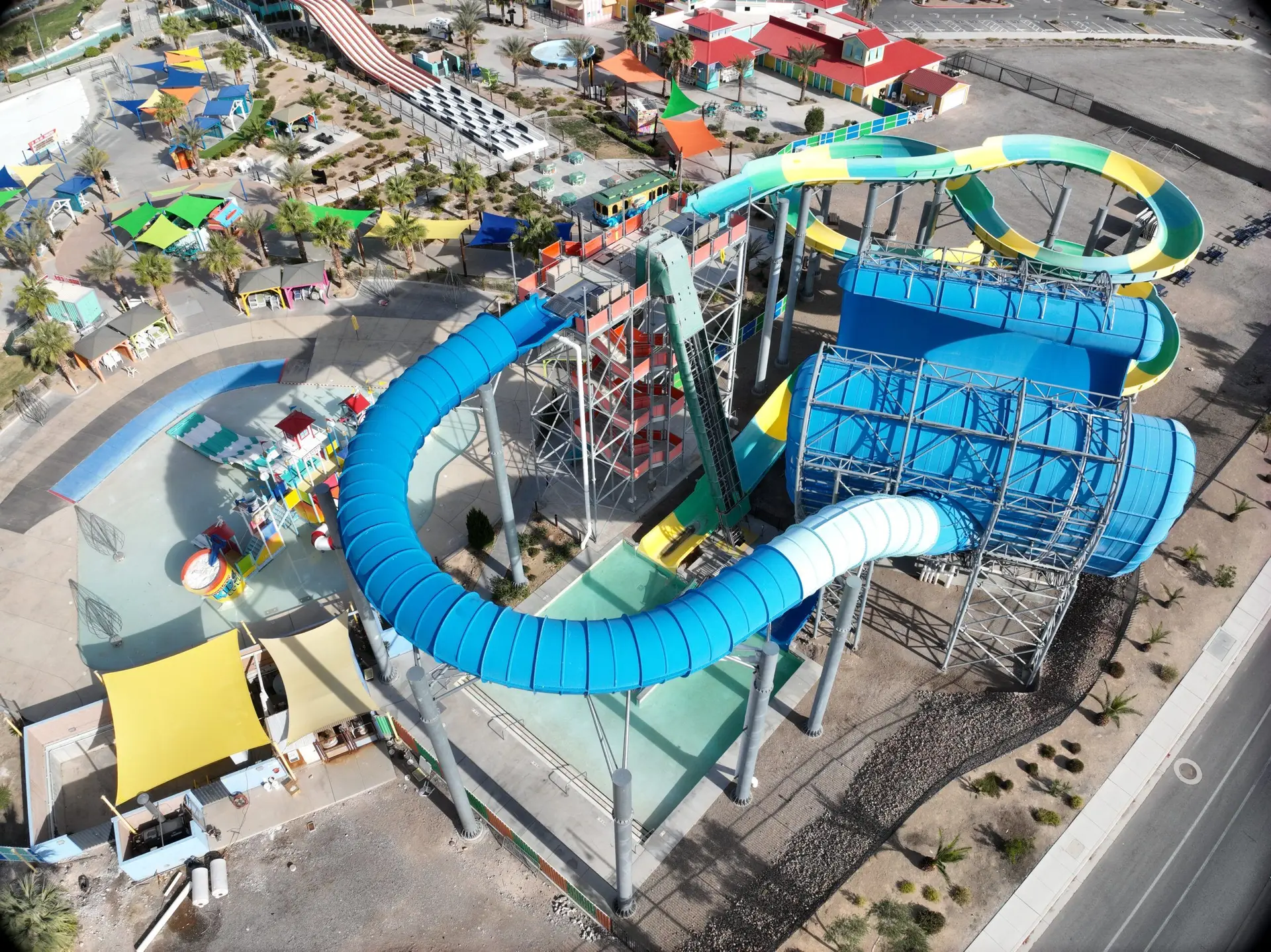
In addition to our real estate drone services, our drone photography is also ideal for business use cases and site surveys. We provide detailed photographic documentation for various projects, helping you accurately assess and plan your site with high-resolution aerial imagery. This documentation is invaluable for construction progress, inspections, and other site-specific requirements, ensuring you have the most accurate and comprehensive visual data available.
A Step Above Traditional Photography
By leveraging our drone photography services, you can present a dynamic and engaging visual story that sets your listing apart from the competition, providing a safe and legally compliant service you can trust. Whether for residential, commercial, land, or business use cases, our expertise ensures your property stands out in any market.
Explore More from Step By Step 3D
In addition to our drone aerial photography, Step By Step 3D offers other digital marketing products to elevate any listing or business. Explore our HDR Photography for Residential, Commercial, and Businesses as well as our Matterport Residential & Business 3D Virtual Tours.
