Drone Photography for Clark County Home Builder Marketing
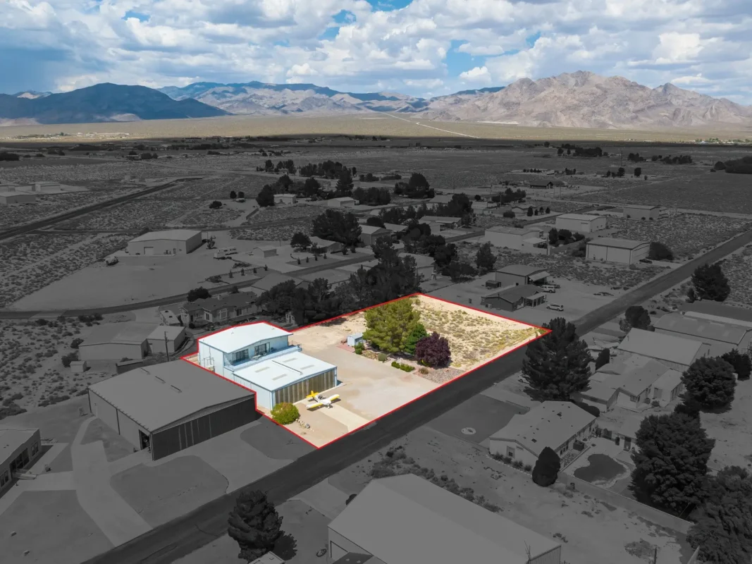
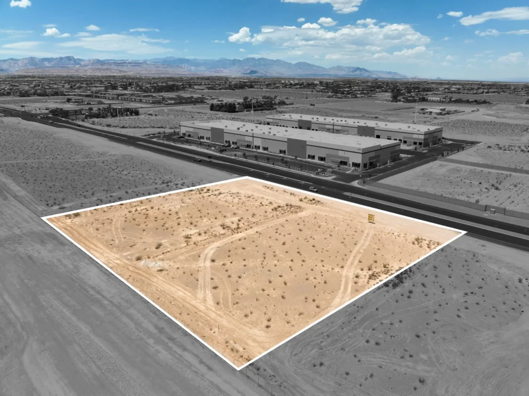
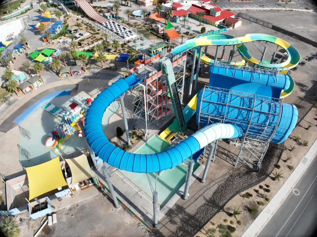
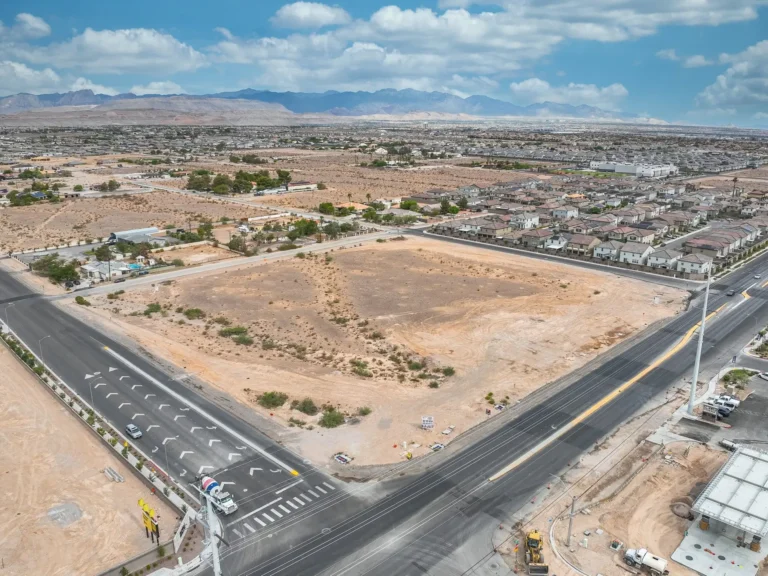
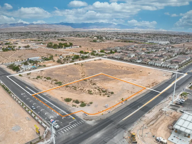
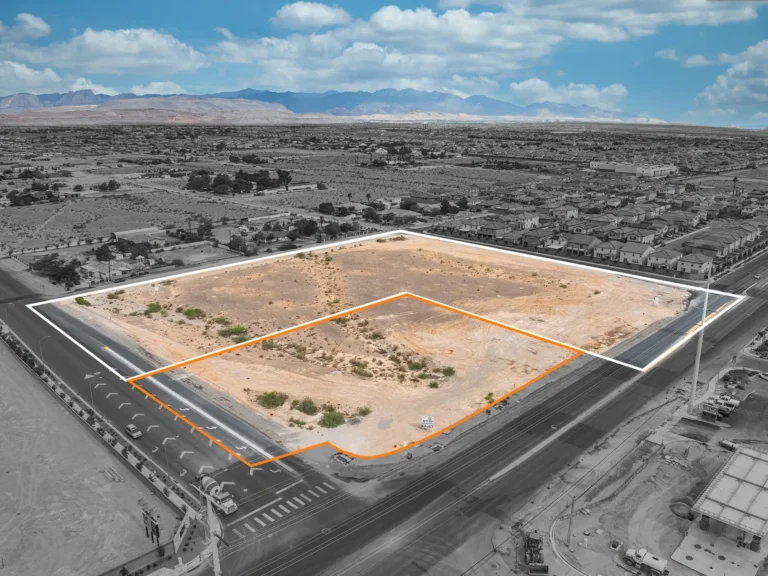
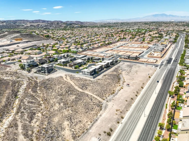
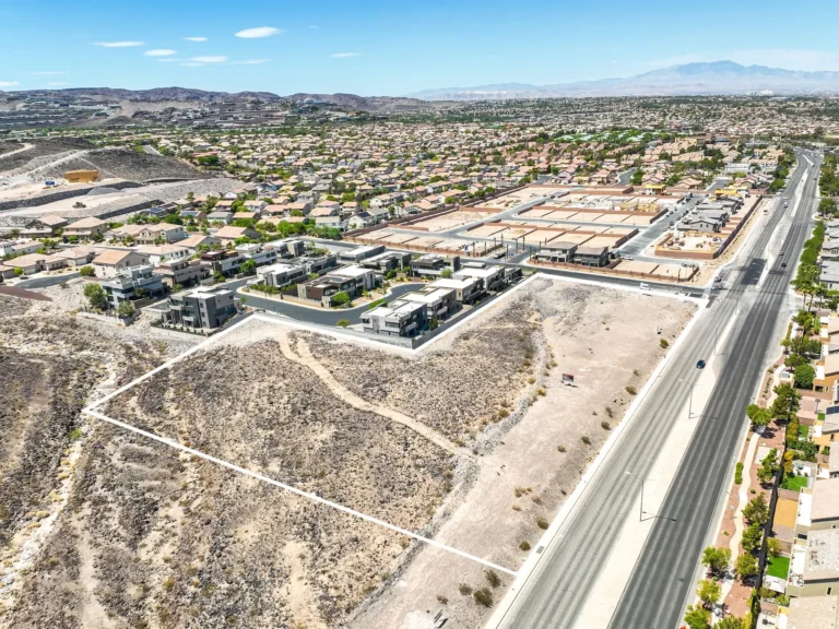
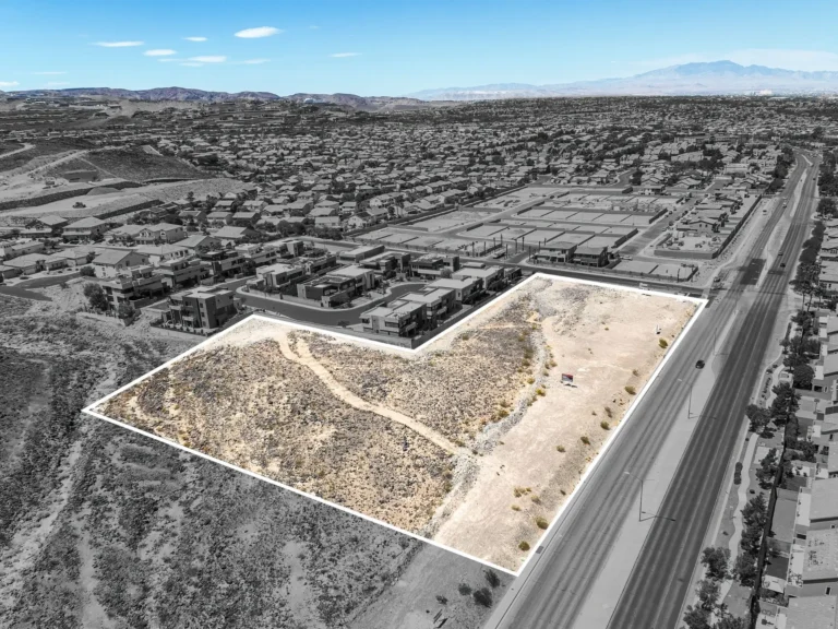
For a Southern Nevada builder, aerial photography should clarify the setting of a model home, available inventory, or a growing community—not merely add a dramatic image. Planned from the beginning of a launch, drone coverage can show street approach, lot position, nearby amenities, mountain views, community scale, and the relationship between homes, open space, and access points.
A Las Vegas home builder marketing program can use aerial images to establish the broader community story for standing inventory and model-home launches.
Plan Aerial Coverage Around the Community Story
Every community calls for a different aerial brief. A hillside address may need the approach, orientation, and view corridor documented; a new-home neighborhood may need the connection between a model, amenities, and nearby retail or recreation. Before flight, identify the specific homes, streets, views, amenities, and construction areas that matter to the buyer-facing story. That preparation prevents a generic collection of aerial images and gives the publishing team a clear purpose for every finished frame.
Pair Drone Media with the Model-Home Experience
Aerial coverage works best when it is part of a complete buyer journey. The outside view establishes where the home sits; a Home Builder Matterport tour explains the room relationships inside; and a home-builder photography program records the finished details that help a plan feel tangible. Keep the model name, elevation, community, and available-address details consistent across those assets so buyers are not left to infer what they are seeing.
Use Local Knowledge Without Overstating the View
Clark County communities differ sharply in terrain, density, surroundings, and airspace considerations. Aerial imagery for Las Vegas, Henderson, Summerlin, and nearby Southern Nevada suburbs should be scoped to the actual property and conditions on the date of capture. A useful deliverable shows what is genuinely relevant to the home or development and identifies any features that belong to the community rather than the individual property.
Coordinate Access, Timing, and Site Readiness
Builder projects often have several moving pieces: active construction, occupied models, scheduled releases, landscaping, temporary signage, and sales-office access. Confirm the site contact, safe takeoff and landing area, property readiness, preferred flight window, and any exterior details that should be removed or completed before the appointment. Where weather, wind, visibility, or airspace affects the planned window, schedule around the conditions rather than treating the flight as an afterthought.
Deliver Assets That Are Easy to Publish
Aerial photos are most useful when the marketing team can immediately match them to the correct community, model, or campaign. Agree on naming, delivery recipients, aspect ratios, and intended uses before capture. That makes it simpler to place imagery in a community page, listing presentation, email, sales display, or launch campaign while keeping the material accurate as inventory changes.
For a Henderson model-home capture, delivery folders can keep aerial stills, walkthrough links, floor plans, and launch files together for the sales team.
When a campaign includes Summerlin community tours, clear asset names help distinguish shared community media from a particular available home.
Bring the Builder Media Plan Together
Whether the need is a single model release or repeat coverage across several Clark County communities, begin with the audience, property status, locations, and deliverables. Contact STEP BY STEP 3D to discuss the aerial scope alongside photography, Matterport, floor-plan, and delivery requirements for the builder program.
Las Vegas, Nevada residential service pricing
Published Las Vegas, Nevada pricing for residential photography, Matterport, and Power Pack services is organized around selected media services and square-footage tiers. Travel, access, deliverables, and other project requirements can affect the final scope.
For a transparent published benchmark, the current Las Vegas residential price list uses 0–3,000-square-foot tiers: photography and Matterport are listed at $199–$299, while the all-in-one Power Pack is listed at $299–$399. Larger homes have a displayed $30–$50 addition per 500 square feet.
Those Las Vegas residential figures are a published reference, not a universal promise for a custom project. Review the current price list and request the specific scope needed for the property or program. View current Las Vegas real estate services pricing.
Planning a retail, business, or commercial capture
Retail, business, and commercial Matterport projects require a project-specific discussion and quote. The residential prices above provide context for residential services; commercial pricing depends on a broader set of requirements.
To prepare an accurate quote, we will discuss the type and size of the property, layout and complexity, number of locations, access restrictions, operating hours, site preparation, travel, required deliverables, intended use, and turnaround time. Projects may also require coordination across teams, capture outside business hours, or phased visits.
Contact STEP BY STEP 3D to review your scope and confirm pricing for your project.